
1. Slučaj urbanog meteorološkog praćenja i ranog upozoravanja
(I) Pozadina projekta
U meteorološkom praćenju u velikom australskom gradu, tradicionalna oprema za meteorološka promatranja ima određena ograničenja u praćenju promjena sustava oblaka, područja i intenziteta oborina, te je teško zadovoljiti potrebe grada za sofisticiranom meteorološkom službom. Pogotovo u slučaju iznenadnog jakog konvektivnog vremena, nemoguće je pravovremeno i točno izdati rana upozorenja, što predstavlja veliki rizik za živote gradskih stanovnika, promet i javnu sigurnost. Kako bi se poboljšala sposobnost meteorološkog praćenja i ranog upozoravanja, nadležni odjeli uveli su kamere za snimanje neba.
(II) Rješenje
U različitim dijelovima grada, kao što su meteorološke promatračke stanice, krovovi visokih zgrada i druga otvorena mjesta, postavljeni su brojni uređaji za snimanje neba. Ovi uređaji za snimanje koriste širokokutne objektive za snimanje slika neba u stvarnom vremenu, koriste tehnologiju prepoznavanja i obrade slika za analizu debljine, brzine kretanja, trenda razvoja oblaka itd. te ih kombiniraju s podacima poput meteoroloških radarskih i satelitskih slika oblaka. Podaci su povezani s gradskim meteorološkim sustavom za praćenje i rano upozoravanje kako bi se postiglo 24-satno neprekidno praćenje. Nakon što se pronađu znakovi abnormalnih vremenskih uvjeta, sustav automatski izdaje informacije o ranom upozoravanju nadležnim odjelima i javnosti.
(III) Učinak provedbe
Nakon što je uređaj za snimanje neba pušten u upotrebu, pravovremenost i točnost urbanog meteorološkog praćenja i ranog upozoravanja znatno su poboljšane. Tijekom teških konvektivnih vremenskih događaja, razvoj i putanja kretanja oblaka precizno su praćeni 2 sata unaprijed, što je gradskoj kontroli poplava, preusmjeravanju prometa i drugim odjelima dalo dovoljno vremena za reakciju. U usporedbi s prošlošću, točnost meteoroloških upozorenja povećala se za 30%, a zadovoljstvo javnosti meteorološkim uslugama povećalo se sa 70% na 85%, čime se učinkovito smanjuju ekonomski gubici i žrtve uzrokovane meteorološkim katastrofama.
2. Slučaj osiguranja sigurnosti zračnog prometa u zračnim lukama
(I) Pozadina projekta
Tijekom polijetanja i slijetanja zrakoplova na aerodromu u istočnom dijelu Sjedinjenih Država, oblaci na malim visinama, vidljivost i drugi meteorološki uvjeti imaju veliki utjecaj. Izvorna oprema za meteorološko praćenje nije dovoljno precizna za praćenje meteoroloških promjena na malom području oko aerodroma. U uvjetima niske oblaka, magle i drugih vremenskih uvjeta teško je točno procijeniti vidljivost piste, što povećava rizik od kašnjenja letova, otkazivanja, pa čak i sigurnosnih nesreća, što utječe na operativnu učinkovitost aerodroma i sigurnost zrakoplovstva. Kako bi se poboljšala ova situacija, aerodrom je postavio snimač neba.
(II) Rješenje
Visokoprecizni snimači neba postavljeni su na oba kraja piste zračne luke i ključnim lokacijama oko nje kako bi se u stvarnom vremenu pratili i analizirali meteorološki elementi poput oblaka, vidljivosti i oborina iznad i oko zračne luke. Slike snimljene snimačem prenose se u meteorološki centar zračne luke putem namjenske mreže i kombiniraju se s podacima iz druge meteorološke opreme kako bi se generirala karta meteorološke situacije područja zračne luke. Kada su meteorološki uvjeti blizu ili dosegnu kritičnu vrijednost standarda za polijetanje i slijetanje leta, sustav će odmah izdati upozorenja odjelu kontrole zračnog prometa, zrakoplovnim tvrtkama itd., pružajući osnovu za donošenje odluka za naredbe kontrole zračnog prometa i raspoređivanje letova.
(III) Učinak provedbe
Nakon ugradnje kamere neba, sposobnost zračne luke za praćenje složenih meteoroloških uvjeta značajno je poboljšana. U uvjetima niske naoblake i magle, vidljivost piste može se preciznije procijeniti, što odluke o polijetanju i slijetanju zrakoplova čini znanstvenijima i razumnijima. Stopa kašnjenja letova smanjena je za 25%, a broj otkazivanja letova zbog meteoroloških razloga smanjen je za 20%. Istovremeno, razina sigurnosti zrakoplovstva učinkovito je poboljšana, osiguravajući sigurnost putovanja putnika i normalan rad zračne luke.
3. Pomoćni istraživački slučaj astronomskog promatranja
(I) Pozadina projekta
Prilikom provođenja astronomskih promatranja u astronomskom opservatoriju na Islandu, na njega uvelike utječu vremenski čimbenici, posebno naoblaka, koja će ozbiljno ometati plan promatranja. Tradicionalnim vremenskim prognozama teško je točno predvidjeti kratkoročne promjene vremena na promatračkoj točki, što rezultira time da oprema za promatranje često miruje i čeka, smanjujući učinkovitost promatranja i utječući na napredak znanstveno-istraživačkog rada. Kako bi se poboljšala učinkovitost astronomskog promatranja, opservatorij koristi snimač neba kao pomoć pri promatranju.
(II) Rješenje
Snimka neba postavljena je na otvorenom prostoru astronomskog opservatorija kako bi snimala slike neba u stvarnom vremenu i analizirala pokrivenost oblakom. Povezivanjem s astronomskom opremom za promatranje, kada snimak neba otkrije da ima manje oblaka u području promatranja i da su vremenski uvjeti prikladni, astronomska oprema za promatranje automatski se pokreće za promatranje; ako se sloj oblaka poveća ili se pojave drugi nepovoljni vremenski uvjeti, promatranje se na vrijeme obustavlja i izdaje se rano upozorenje. Istovremeno se pohranjuju i analiziraju dugoročni podaci o slikama neba, a obrasci promjene vremena na promatračkim točkama sažimaju se kako bi se pružila referenca za formuliranje planova promatranja.
(III) Učinak provedbe
Nakon što je uređaj za snimanje neba pušten u upotrebu, efektivno vrijeme promatranja astronomskog opservatorija povećalo se za 35%, a stopa iskorištenosti opreme za promatranje značajno je poboljšana. Istraživači mogu pravovremeno uhvatiti prilike za promatranje, dobiti kvalitetnije astronomske podatke promatranja i postigli su nove znanstveno-istraživačke rezultate u područjima zvjezdane evolucije i istraživanja galaksija, što je učinkovito potaknulo razvoj astronomskih istraživanja.
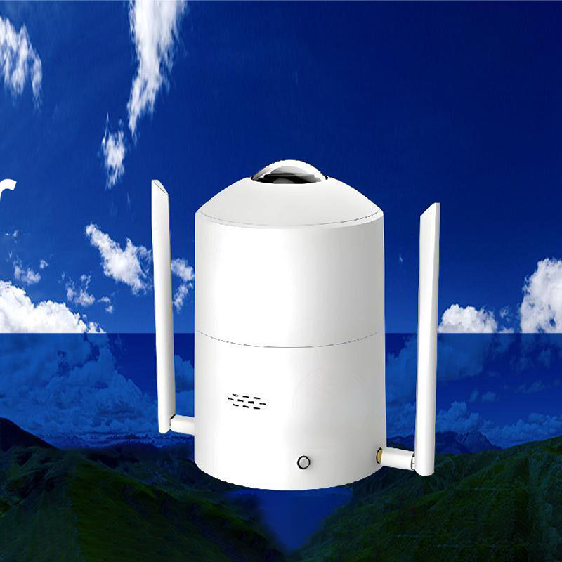
Snimka neba ostvaruje svoju funkciju prikupljanjem, obradom i analizom slika neba. Detaljno ću rastaviti kako dobiti slike, analizirati meteorološke elemente i izbaciti rezultate iz dva aspekta, sastava hardvera i softverskog algoritma, te vam objasniti princip rada.
Snimka neba uglavnom prati uvjete na nebu i meteorološke elemente putem optičkog snimanja, prepoznavanja slike i tehnologije analize podataka. Princip rada je sljedeći:
Snimanje slike: Snimka neba opremljena je širokokutnim objektivom ili objektivom "riblje oko", koji može snimati panoramske slike neba s većim kutom gledanja. Raspon snimanja neke opreme može doseći 360° prstenastog snimanja, kako bi se u potpunosti snimile informacije poput oblaka i sjaja na nebu. Objektiv konvergira svjetlost na senzor slike (kao što je CCD ili CMOS senzor), a senzor pretvara svjetlosni signal u električni ili digitalni signal kako bi se dovršilo početno snimanje slike.
Predobrada slike: Prikupljena izvorna slika može imati problema poput šuma i neujednačenog osvjetljenja te je potrebna predobrada. Šum slike uklanja se algoritmom filtriranja, a kontrast i svjetlina slike podešavaju se izjednačavanjem histograma i drugim metodama kako bi se poboljšala jasnoća ciljeva poput oblaka na slici za naknadnu analizu.
Detekcija i identifikacija oblaka: Koristite algoritme za prepoznavanje slike za analizu prethodno obrađenih slika i identifikaciju područja oblaka. Uobičajene metode uključuju algoritme temeljene na segmentaciji praga, koji postavljaju odgovarajuće pragove za odvajanje oblaka od pozadine na temelju razlika u sivoj skali, boji i drugim značajkama između oblaka i pozadine neba; algoritme temeljene na strojnom učenju, koji obučavaju veliku količinu označenih podataka slike neba kako bi model mogao naučiti karakteristične obrasce oblaka, čime se točno identificiraju oblaki.
Analiza meteoroloških elemenata:
Izračun parametara oblaka: Nakon identifikacije oblaka, analizirajte parametre poput debljine oblaka, površine, brzine i smjera kretanja. Usporedbom slika snimljenih u različito vrijeme izračunajte promjenu položaja oblaka, a zatim izvedite brzinu i smjer kretanja; procijenite debljinu oblaka na temelju informacija o sivoj skali ili boji oblaka na slici, u kombinaciji s modelom prijenosa atmosferskog zračenja.
Procjena vidljivosti: Procijenite atmosfersku vidljivost analizom jasnoće, kontrasta i drugih značajki udaljenih scena na slici, u kombinaciji s modelom atmosferskog raspršenja. Ako su udaljene scene na slici mutne, a kontrast nizak, to znači da je vidljivost slaba.
Procjena vremenskih pojava: Osim oblaka, uređaji za snimanje neba mogu identificirati i druge vremenske pojave. Na primjer, analizom prisutnosti kišnih kapi, pahuljica snijega i drugih reflektiranih svjetlosnih elemenata na slici, moguće je utvrditi postoji li oborinsko vrijeme; prema boji neba i promjenama svjetlosti, moguće je utvrditi postoje li vremenske pojave poput grmljavine i magle.
Obrada i izlaz podataka: Analizirani podaci meteoroloških elemenata poput oblaka i vidljivosti integrirani su i prikazani u obliku vizualnih grafikona, izvješća o podacima itd. Neki uređaji za snimanje neba također podržavaju fuziju podataka s drugom opremom za meteorološko praćenje (kao što su meteorološki radari i meteorološke stanice) kako bi pružili sveobuhvatne meteorološke informacijske usluge za scenarije primjene kao što su vremenska prognoza, sigurnost zrakoplovstva i astronomsko promatranje.
Ako želite saznati više o detaljima načela određenog dijela uređaja za snimanje neba ili o razlikama u načelima različitih vrsta opreme, slobodno mi recite.
Honde Technology Co., Ltd.
Tel: +86-15210548582
Email: info@hondetech.com
Web stranica tvrtke:www.hondetechco.com
Vrijeme objave: 19. lipnja 2025.